General Information
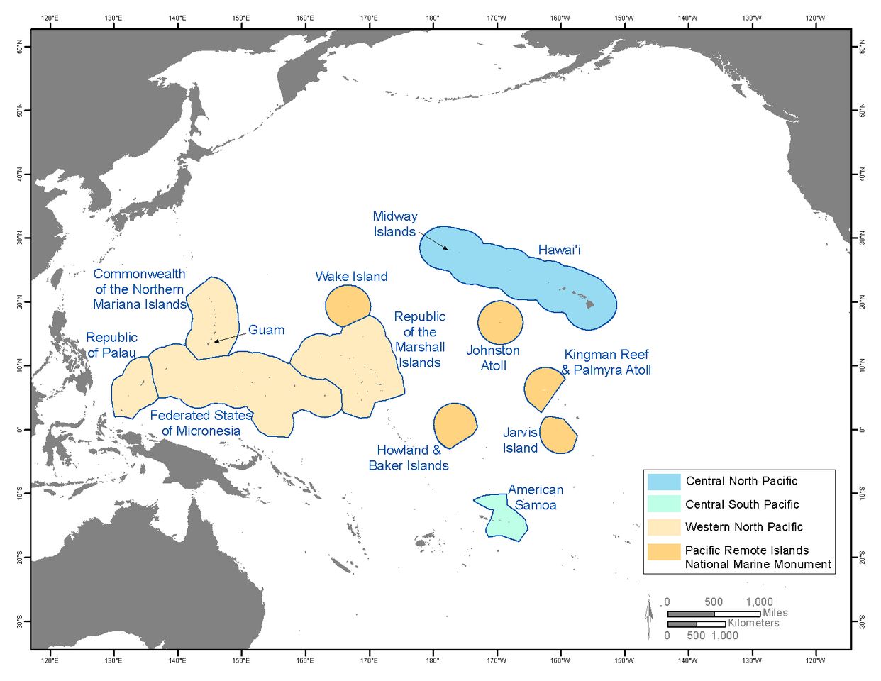
Map of the Pacific Islands region and sub-regions. The region includes the Hawaiian archipelago and the US-Affiliated Pacific Islands, and comprises the Central North Pacific (CNP, blue), Western North Pacific (WNP, light orange), Central South Pacific (CSP, light green), and the islands of the Pacific Remote Island Marine National Monument (dark orange). Shaded areas indicate each islands exclusive economic zone (EEZ). From Keener et al. (2012).
Data Type:
Observed
Region:
Metadata
Metadata File(s):
Files